
Map Santa Clara County Street Parcels
A Santa Clara County street directory search works best as a chain. Start with one deliverable address and keep the spelling, city label, unit, and date in a worksheet. The Assessor supplies a situs match and APN. GIS shows the parcel's position and jurisdiction. The Recorder connects a named party to a recorded instrument. A city permit portal can date work at the address. Historical reverse directories add listed householders for a particular year. Each step contributes a different kind of evidence.
Do not treat a street as one uniform record set. A street can cross city limits, an unincorporated pocket, a ZIP edge, or an older boundary. The same physical parcel may also carry an old street name, a new number, or a changed APN. Preserve the parcel and legal description when possible, then compare the human names only after the address identity is stable.
- Run the situs address or APN through the Santa Clara County Assessor Real Property Search and save the APN and latest title-transfer document number.
- Open County GIS or Property Explorer, select the parcel, note the jurisdiction, and inspect the neighboring polygons without treating the map as a title record.
- Use the qualified voter-record route only when the purpose meets California Elections Code rules; the public self-check is for one registrant, not a street roster.
- Take the document number, legal description, or known party to the Clerk-Recorder and follow the grantor-grantee chain at the counter.
- For an older household, move to the California Room's street index, Haines or Pacific Bell reverse directories, newspapers, and maps for the relevant year.
The address-to-owner-to-document-to-householder sequence gives a defensible street-by-street trail. When the goal shifts from a whole street to one person, the evidence log should change with it.
Read the Santa Clara County Street Directory
The Assessor's public form is the strongest modern entry point for a Santa Clara County street directory, but it is not an owner-name directory. It offers Simple Address Search, Advanced Address Search, and Search by APN. Every mode requires acceptance of the terms and reCAPTCHA. The address field is a situs address, meaning the physical property location. A mailing address can belong to an owner, trustee, manager, or representative somewhere else.
| Field or mode | Type | Required | Format or limitation |
|---|---|---|---|
| Property address | Autocomplete text | Yes | Select a situs suggestion after typing. |
| Terms checkbox | Checkbox | Yes | Search is enabled after acceptance. |
| Street number | Text, maximum six | No | Advanced Address Search. |
| Street direction | Dropdown | No | Select, North, South, East, or West. |
| Street name | Text | Yes | Required in advanced mode. |
| Street type | Dropdown | No | Suffix choices include Road, Street, Drive, and Way. |
| Unit | Text, maximum six | No | Unit identifier when supplied. |
| City | Dropdown | Yes | County locality choices, including incorporated and unincorporated labels. |
| APN number | Text | APN mode | Eight digits, with or without dashes, such as 123-45-678. |
There is no public owner-name, ZIP, radius, export, whole-street, sort, or date control. Omitting a street number may approximate street browsing in the advanced form, but result behavior and reCAPTCHA should be tested at the time of use. The county describes APN as the unique number assigned by the Assessor to identify a property.
The Santa Clara County property research guide places the Assessor path beside GIS and jurisdiction research.
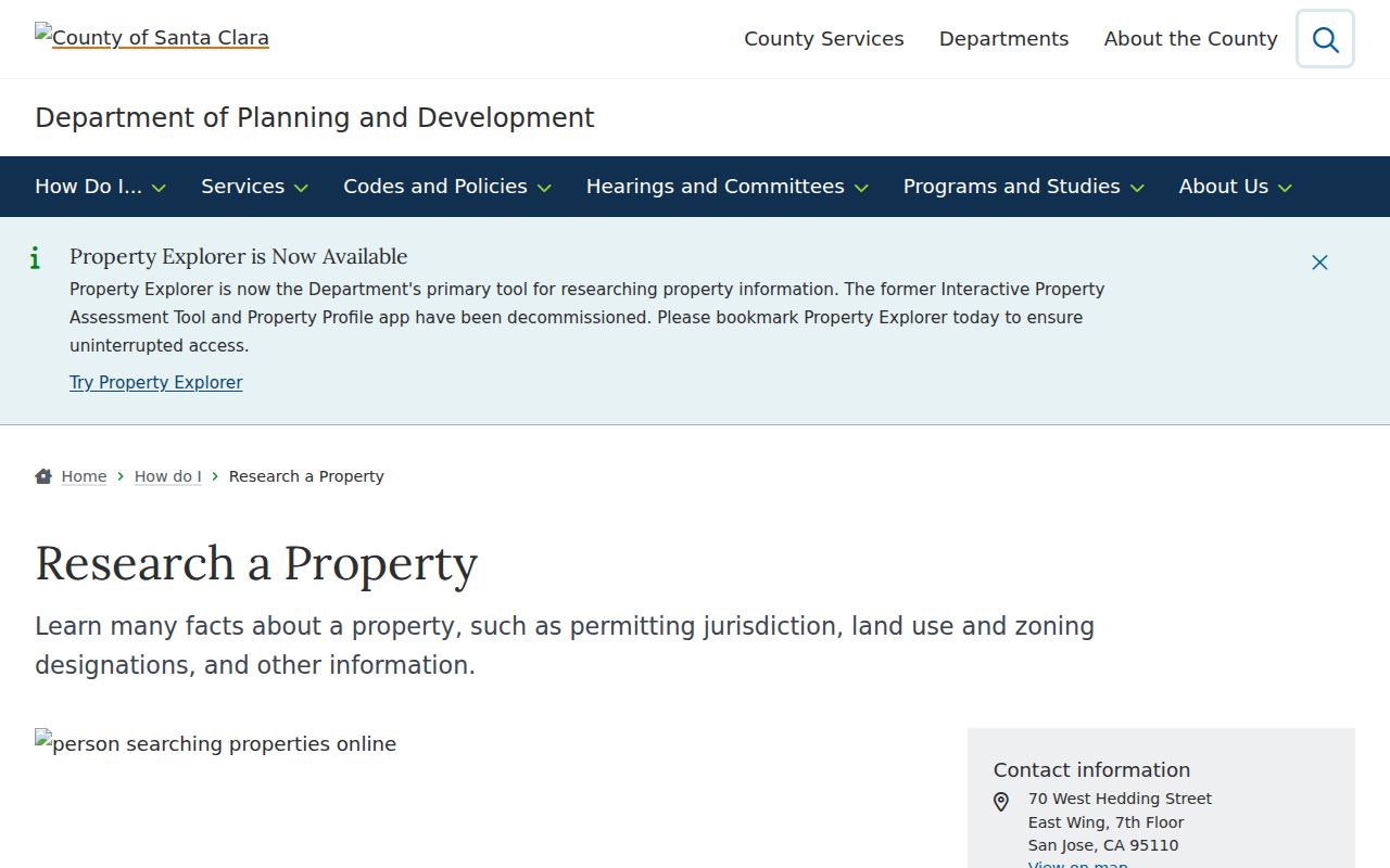
The property workflow is a parcel lookup, so its best use is to stabilize the address before a deed or permit search.
[RESEARCH GAP: the manifest did not capture a dedicated Assessor search screen or Recorder deed-index screen; verify those live interfaces before publication.]
Keep Santa Clara County Street Addresses Separate
Address terms carry different evidence. Situs is the physical place occupied by a parcel. Mailing address is where a tax or property contact receives correspondence. A legal description identifies land by lot and block, recorded map, subdivision, or metes-and-bounds language. A plat is the recorded map that lays out lots, blocks, streets, or easements. These identifiers outlast a postal label, but none alone names every person inside a building.
- Situs address
- The physical property location used by the Assessor's address search.
- Parcel
- A mapped unit identified by an APN for assessment and geographic reference.
- Plat
- A recorded map that describes a subdivision, lot, block, or street pattern.
- Criss-cross directory
- An address-first directory section that turns a street number into a listed householder for a publication year.
A tax mailing line may point outside Santa Clara County. An APN may change after a split, combination, condominium creation, or remapping. A deed may use a trust or entity name. Keep separate columns for title holder, mailing contact, directory householder, permit participant, and census household. That simple discipline prevents one address clue from being inflated into a current residency claim.
Note: The Assessor asks for where the property is located, not the mailing address used for tax correspondence.
Trace Santa Clara County Deeds by Address
The Recorder preserves recorded instruments by party role. Santa Clara County record books begin in 1850, but the official index does not include a street address as a searchable deed field. Start with the Assessor's latest title-change document number, then retrieve the instrument at the Clerk-Recorder. Read the grantee, grantor, recording date, document number, legal description, APN reference, and any phrase pointing to an earlier conveyance.
- Capture the current situs, APN, latest title document number, known owner spellings, and an approximate date range.
- At 110 W. Tasman Drive, retrieve the document image and write down the buyer or grantee, seller or grantor, recording date, legal description, and book or page if shown.
- Search the seller as a grantee in the grantor-grantee index, narrowing by date, document type, legal description, or APN.
- Repeat the prior-grantee search. For pre-1994 instruments, use book and page and the counter's Digital Reel when the older record is not in a modern image path.
- Compare the chain with directories, census households, permits, and maps, keeping ownership and occupancy as separate findings.
The Recorder does not perform a title search for the researcher. Counter research averages 15 to 45 minutes, and mail or copy orders work best once a document number or book/page citation is known. A plain copy reproduces the instrument; certification is a separate service decision.
Santa Clara County Street Records by Address
The address-keyed record sets below form the working spine of a Santa Clara County street directory. They do not all identify residents, and they do not share one update date. The APN is the useful bridge between the parcel map, Assessor result, permit file, and recorded legal description. A historical directory or voter record has a different purpose and must be labeled as such.
| Record set | Keeper | What it shows | Access channel |
|---|---|---|---|
| Real Property Search | County Assessor | APN, situs, assessment facts, characteristics, latest title document | Free address or APN web search; phone or counter help |
| Parcel and planning map | County GIS and cities | Parcel geometry, jurisdiction, zoning, districts, and map layers | Free map applications and data services |
| Recorded instruments | Clerk-Recorder | Grantors, grantees, deeds, liens, releases, maps, and recording sequence | In-person index and images; known-document copy order |
| San José permits | City Permit Center | Address or APN, permit status, inspections, and posted documents | Free web search; counter or staff duplication request |
| Authorized voter file | Registrar of Voters or Secretary of State | Residential address, precinct, status, and permitted history fields | Qualified application under Elections Code section 2194 |
| Reverse directories | California Room | Listed householder at an address for a publication year | In-room collection or selected digitized material |
San José's city portal is not a countywide permit roll. Other incorporated cities keep their own planning and building records. County Planning and Development is the route for unincorporated land after the APN and jurisdiction are confirmed. When an online path ends, use the custodian's request route instead of filling the gap with an unverified directory.
Note: Address-keyed sources update on different schedules, so record the source date before comparing a street result.
Santa Clara County Street GIS Parcels
GIS turns a street into a spatial question. Search the target address or APN in County GIS, Property Explorer, or SCCMap, zoom until parcel boundaries are visible, click the subject polygon, and save the APN and jurisdiction. Adjacent parcels can then be carried one at a time to the Assessor. Layers for zoning, general-plan designations, flood or hazard areas, fire districts, sanitation districts, and aerial imagery explain place, but they do not establish title or occupants.
The county's published parcel service is dynamic. Its FY2025 parcel data is current to June 2025, permits large data queries but limits a selection to 2,000 features, and should be checked against primary records. The newer Property Explorer combines an interactive map and side panel and was scheduled to replace older assessment and profile tools in 2026. Exact toolbar labels may change, so describe the map task rather than promising a fixed button sequence.
The Santa Clara County parcel map service shows the spatial layer used to compare a target parcel with the rest of a block.
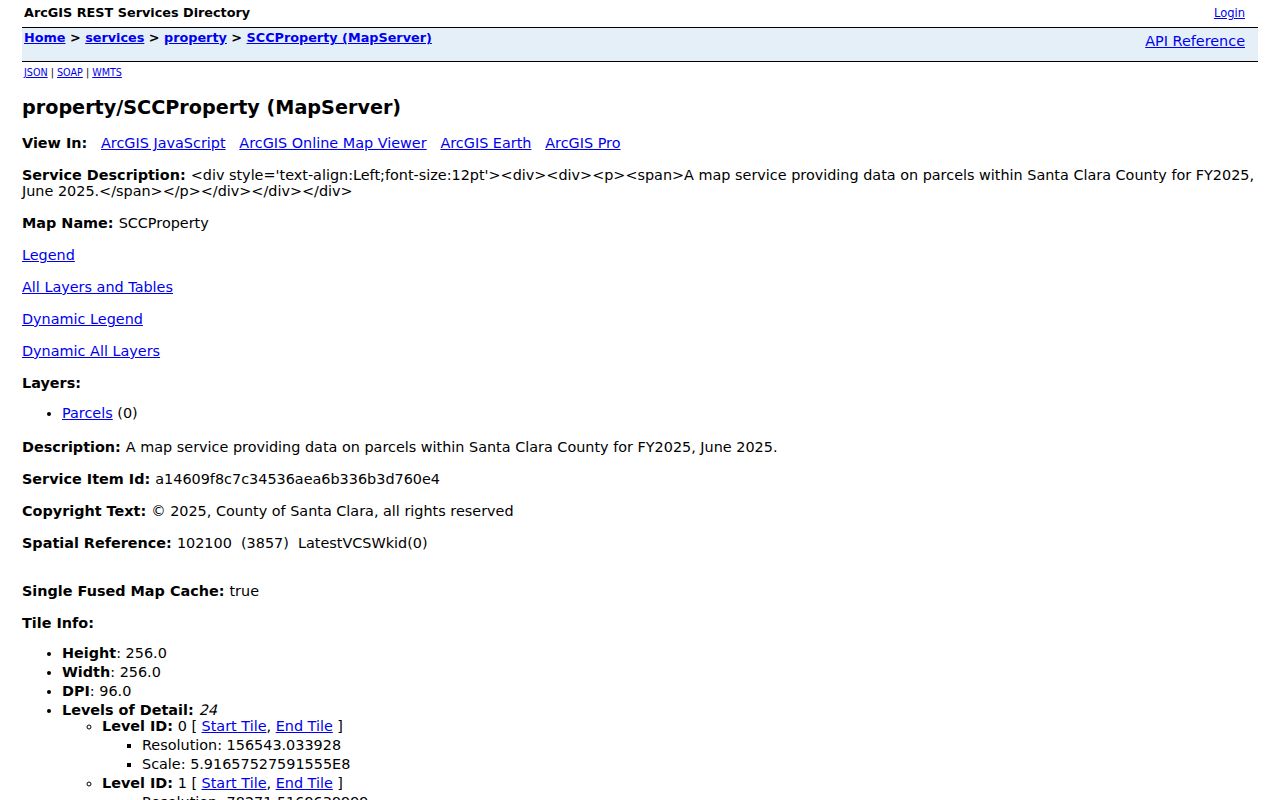
Parcel adjacency is a map relationship, not a list of neighbors. Each selected APN still needs its own official source check.
Santa Clara County Street Permit Records
San José provides the county's deepest municipal address search through SJPermits. The public form accepts a house or building number with a street name, an APN, a permit or reference number, or a tract number. Address searches support partial entries and a percent wildcard. Results can show the matched property, APN, jurisdiction indicator, zoning or property designations, permit number, type, description, public status, details, and posted inspection notices. An in-progress application status is limited to a logged-in applicant.
Permit records are structural evidence. They can date an addition, alteration, demolition, inspection, or other work and may show owner, applicant, architect, or contractor roles. Those roles are not interchangeable, and a permit name is not automatic proof of residence. Plans before 2005 may or may not survive. When a file is absent from the public result, the Permit Center can handle a staff-assisted duplication request.
The San José Public Property Search shows the address and APN entry path for the municipal example.
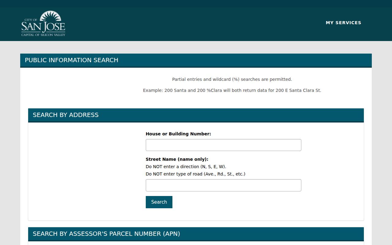
For a street outside San José, verify the incorporated city or unincorporated county jurisdiction before asking for a permit or code file.
Find Santa Clara County Directory Householders
A criss-cross directory reverses the usual name-first arrangement. Find the street heading, move through house numbers, and record the listed householder, cross street, abbreviation, and publication year. Haines and Pacific Bell reverse directories reach from the mid-1960s onward and extend beyond San José into other cities and unincorporated areas. Telephone books add subscriber and address clues, but an unlisted number will not appear.
The California Room also holds conventional San José city directories, Great Registers, newspapers, yearbooks, historic permits, assessor rolls, maps, and aerial photographs. A street index first appears in 1913, which makes address-to-household work more direct. Earlier volumes need alphabetical searching and careful attention to the volume's coverage key. Use the front abbreviation key before reading a symbol as a fact.
The San José house and property research guide lists the local source chain for a historical address.
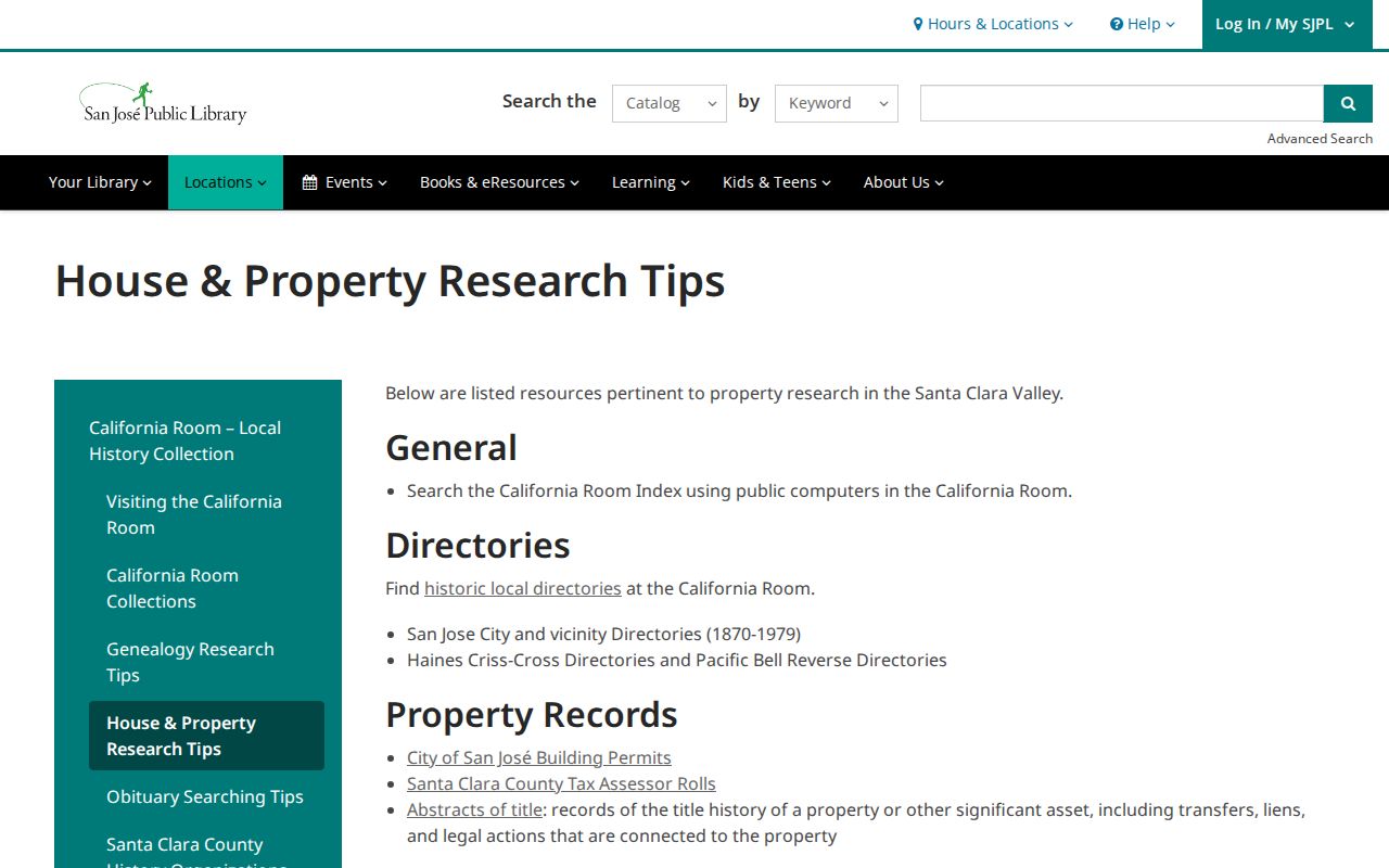
For the full collection history, the Santa Clara County city directory page separates shelf coverage from the current parcel chain.
A directory disappearance can mean a move, death, an omitted household, a city-limit change, or a publication gap. Pair the entry with a deed, census schedule, obituary, or map before choosing one explanation.
Note: A reverse directory entry names a listed householder for its issue, not every person associated with the address.
When Santa Clara County Streets Change Names
Street identity is historical evidence, not just a text field. San José's 14th Street became 17th Street in 1913, and the California Room keeps a street-name-change list. Search both forms around the transition and compare house numbers, cross streets, maps, and legal descriptions. A directory may print the name used by its publication year while a deed uses a parcel description.
Annexation creates a second mismatch. Large parts of present-day San José sat outside earlier city limits, while Willow Glen incorporated separately in 1927 and was annexed by San José in 1936. A household absent from an old San José volume may still appear in a nearby town or county source. Do not apply today's city label to every historical address.
Subdivision maps explain later streets. Record the tract, lot, block, map book and page, then compare the first permit, first directory appearance, and APN continuity. A postal line can change while the parcel remains identifiable through the recorded map and legal description.
Different Santa Clara County Street Trails
Santa Clara County's geography changes the best source. Downtown San José and older districts such as Hensley, Naglee Park, Vendome, and Willow Glen often have prewar directory, Sanborn, newspaper, and municipal trails. Campbell, Cupertino, Santa Clara, Sunnyvale, and north or west San José grew through postwar subdivisions, so recorded tract maps, permits, and later reverse directories become more useful.
Morgan Hill, San Martin, and Gilroy retain agricultural, rancho, and unincorporated address contexts. County agencies may be the permit and address authority outside a city. Palo Alto, Mountain View, Los Altos, and Stanford-area addresses add university archives and city-specific collections. The same street directory method still works, but the custodian and historical place name must be chosen from the parcel's actual jurisdiction.
Note: A Santa Clara County mailing city can describe delivery while a city or county office controls the underlying land-use record.
Offline Santa Clara County Records at Tasman
Online search is only one access channel. The Clerk-Recorder's official real-estate index and Digital Reel are counter services at 110 W. Tasman Drive, first floor, San José, Monday through Friday from 8:00 a.m. to 4:30 p.m. Staff do not conduct a title search. Bring the current address, APN, title document number, known name variants, date range, and any book or page reference. Mail or copy requests are practical when the identifier is already known.
The Assessor counter at 130 W. Tasman Drive can help with ownership history and public assessment material that the web form does not expose. The phone is 408-299-5500, weekdays 8:00 a.m. to 5:00 p.m. San José city records can be requested online or in writing, by mail, email, fax, telephone, or in person. County Planning and Development handles unincorporated parcels, while a city planning office handles incorporated land.
The 2025 county office relocation explains why saved directions can be stale. The public counter moved, but a historic deed citation remains meaningful. Confirm the current department instructions before traveling and preserve the original record date in the worksheet.
Santa Clara County Street Directory Limits
A street directory cannot recover every unlisted occupant, child, roommate, or household member. A deed names a recorded party, not everyone at the property. A mailing address is not the situs, a permit applicant is not automatically a resident, and a reverse-directory entry is limited to the volume's canvass and date. DMV address data, utility accounts, and delivery records are not public address directories.
California does not offer a general-public voter street roll. An authorized file can contain residential addresses for a qualifying purpose, but confidential voters and other protected categories are excluded. GIS can show adjacent parcels, and a neighborhood map can show voluntary organization boundaries, but neither is a member or household roster.
Lawful personal use. Santa Clara County street and address records support personal research, family history, property curiosity, and civic verification. Using a name or address to stalk, harass, intimidate, or harm another person is prohibited.
When a street search becomes a question about one person's identity, use a narrower records workflow and document the source, date, role, and address type. A direct Santa Clara County resident lookup should still end with uncertainty when independent official facts do not agree. The Santa Clara County street directory remains an address index, not a complete person record.