
Santa Clara County Neighbors: Block Sources
A block lookup works best as a layered map and record trail. The source table below separates geographic clues, title evidence, restricted voter information, voluntary organization contacts, and historical listings. None of the rows alone is a complete list of Santa Clara County neighbors.
| Source | What It Shows About a Block | Access |
|---|---|---|
| Property Explorer or SCCMap | Parcel boundaries, APNs, jurisdiction, layers, and nearby geometry | Free map browse; spatial clue only |
| Assessor Real Property Search | One selected parcel's situs, APN, assessment detail, and title-change reference | Free address or APN search; terms and reCAPTCHA |
| Clerk-Recorder chain | Recorded title parties, document sequence, and legal description for each parcel | In-person index and images; search by party or identifier |
| Authorized voter file | Residential address, precinct, status, and other approved fields for qualifying uses | Elections Code section 2194 request only |
| San José association map | Public organization boundaries, names, contact details, and overlapping groups | Address map, selection, and CSV export; San José only |
| Reverse directory | Listed historical householder by address and publication year | California Room or digitized collection as available |
Property records usually identify ownership, not every person at a parcel. A mailing address can belong to an owner, trustee, manager, or representative. A reverse directory can omit a person, and an organization map can show a public contact without exposing private membership.
Map Santa Clara County Neighbors by APN
The defensible adjacent-parcel method is spatial. Search the target address or APN in County GIS map applications or Property Explorer, zoom until parcel boundaries are visible, and identify the parcels that share a boundary or face the same street segment. Then carry each APN to the Assessor search. Do not treat a polygon as proof that a person lives there.
- Locate the subject parcel and save its APN, jurisdiction, and map position.
- Click the adjoining polygons or the parcels across the same street segment.
- Repeat the Assessor address or APN search for each selected parcel and label the result as property evidence.
- Use the Recorder chain only when a title interval or legal description needs confirmation.
- Use the association map or a public civic contact for a voluntary community connection, not a household roster.
The newer Property Explorer's exact toolbar labels and adjacent-selection controls require a live JavaScript check. The county GIS service documents a 2,000-feature selection maximum, so a visible block should be kept narrow. For a complete named-street chain, use the Santa Clara street directory lookup rather than turning a block map into a whole-street search.
[RESEARCH GAP: the manifest did not capture the GIS adjacent-parcel view; verify the new Property Explorer controls before publication.]
Santa Clara County Neighbors and Owners
An adjacent owner is not automatically a current neighbor. The Assessor's situs field identifies where the parcel is located, while a tax mailing address can point elsewhere. A deed names grantors and grantees, but a trust or entity transfer can change title without describing who uses the parcel.
Keep separate labels for title holder, tax mailing contact, directory occupant, permit participant, and census household. A permit applicant may be an architect, contractor, or owner. A directory entry may be a listed adult. A census household is tied to an enumeration date. These roles make the Santa Clara County local record trail more accurate and less likely to merge unrelated people.
The same caution applies to old parcels. Lot splits, combinations, condominium creation, remapping, and annexation can retire an APN or change the jurisdiction. Preserve the legal description and recorded map when a current parcel does not line up with an older neighbor clue.
Compare Santa Clara County Parcels
APNs let a block search move from map to parcel, but they are administrative keys rather than permanent legal descriptions. The Assessor displays an eight-digit pattern such as 123-45-678. The Recorder's instrument carries the stronger land description, with tract, map, lot, block, or metes-and-bounds references.
| Clue | What to compare | What it cannot prove |
|---|---|---|
| APN | Parcel identity across Assessor and GIS results | Every person at the parcel or a permanent parcel history |
| Situs address | Physical location and address spelling | Mailing destination or current occupancy |
| Legal description | Lot, block, tract, map, or metes-and-bounds continuity | Who uses the land on a given day |
| Recorder instrument | Grantor, grantee, date, document type, and recorded interest | A complete household or current neighbor list |
| GIS layer | Geometry, jurisdiction, and selected planning context | A legal survey, title opinion, or resident identity |
When nearby parcels look alike, compare the map and deed references together. The legal description can bridge a street-number change, while the APN can bridge a current map view. Neither should be treated as an occupant directory.
Rebuild Santa Clara County Neighbors
Historical block contacts are reconstructed from address-first sources. Haines Criss Cross and Pacific Bell reverse directories begin in the mid-1960s, with exact volumes held by the California Room varying by year. Read the street heading, follow the house-number sequence, and record the listed name and publication date.
Before 1913, San José directories were arranged by surname only. A street index appeared in 1913, and the California Room's street-name-change list notes that 14th Street became 17th Street that year. Search both forms when rebuilding a historic block. Older city limits also mean a missing entry may reflect coverage, not absence.
Use a directory name beside a deed, census schedule, map, obituary, or permit. A historical Santa Clara County block trail should state the source year and role for each name rather than present a past listing as a current fact.
San José Neighborhood Associations and Neighbors
San José maintains the county's richest public community-directory layer. Its neighborhood and business association map lets a user enter an address, click the property, read a popup, and see an arrow when groups overlap. The Select tool outlines an area, Shift adds areas, and the ellipsis menu offers CSV export with association names and contact information. The map is an organizational contact tool, not a member roster.
| Public organization example | What the map can help confirm | Boundary caution |
|---|---|---|
| Baker West | Named association area and public contact | San José map layer only |
| Cadillac Winchester | Organization name tied to a mapped area | Does not list private members |
| Eden | Neighborhood association contact path | Polygon may overlap another group |
| English Estates | Public civic organization reference | Not a parcel or ZIP boundary |
| Strawberry Square HOA | Voluntary group name and map contact | Contact listing is not a household roll |
| Winchester Neighborhood Action Coalition | Public community connection | Confirm current details with the map |
| Woodglen HOA | Public group name and contact route | Do not infer membership from an address |
Other examples in the January 2025 district list include Hamann Park, Moreland West, Murdock, Winchester Orchard, Strawberry Park, and Strawberry Square. Corrections to the San José map go to GeneralPlanStaff@sanjoseca.gov. Outside San José, check the relevant city's civic or neighborhood page; no authoritative countywide member directory was found.
[RESEARCH GAP: the manifest capture for the San José neighborhood-association map failed; verify the live map and current contact export.]
Santa Clara County Neighbors and Voter Rules
California does not offer a general-public block voter roll. The county's self-service registration check is for one voter and requires identifying data. The address district finder returns precinct, supervisorial district, council district, and district offices, but not the people who live at the address.
A qualified requester may apply for a statewide or county file for election, scholarly, journalistic, political, or governmental purposes under Elections Code section 2194. The state application requires a purpose, identity and security details, nondistribution acknowledgments, and payment. A statewide file is $100; up to ten specifically identified voters cost $30 per record up to $100; county pricing is locally set. State processing is stated as 7 to 14 business days.
Residential and mailing addresses can appear in an approved file for nonconfidential voters, but confidential voters, preregistrants, signatures, driver's-license numbers, and Social Security numbers are excluded. A CPRA request does not bypass the voter statute. A block-level neighbor lookup should never assume an unrestricted public voter list.
Santa Clara Facility Records, Not Resident Rolls
Location-based public data can add context to a block without identifying nearby people. The County facility inspection search ties an establishment or location to inspection dates, violations, and a placard or result. It may help explain a nearby public-facing site, but it does not show household members, parcel occupants, or a complete owner record.
The Santa Clara County facility inspection search is the source for the image below. Keep the inspection address and date separate from the parcel and neighbor evidence.
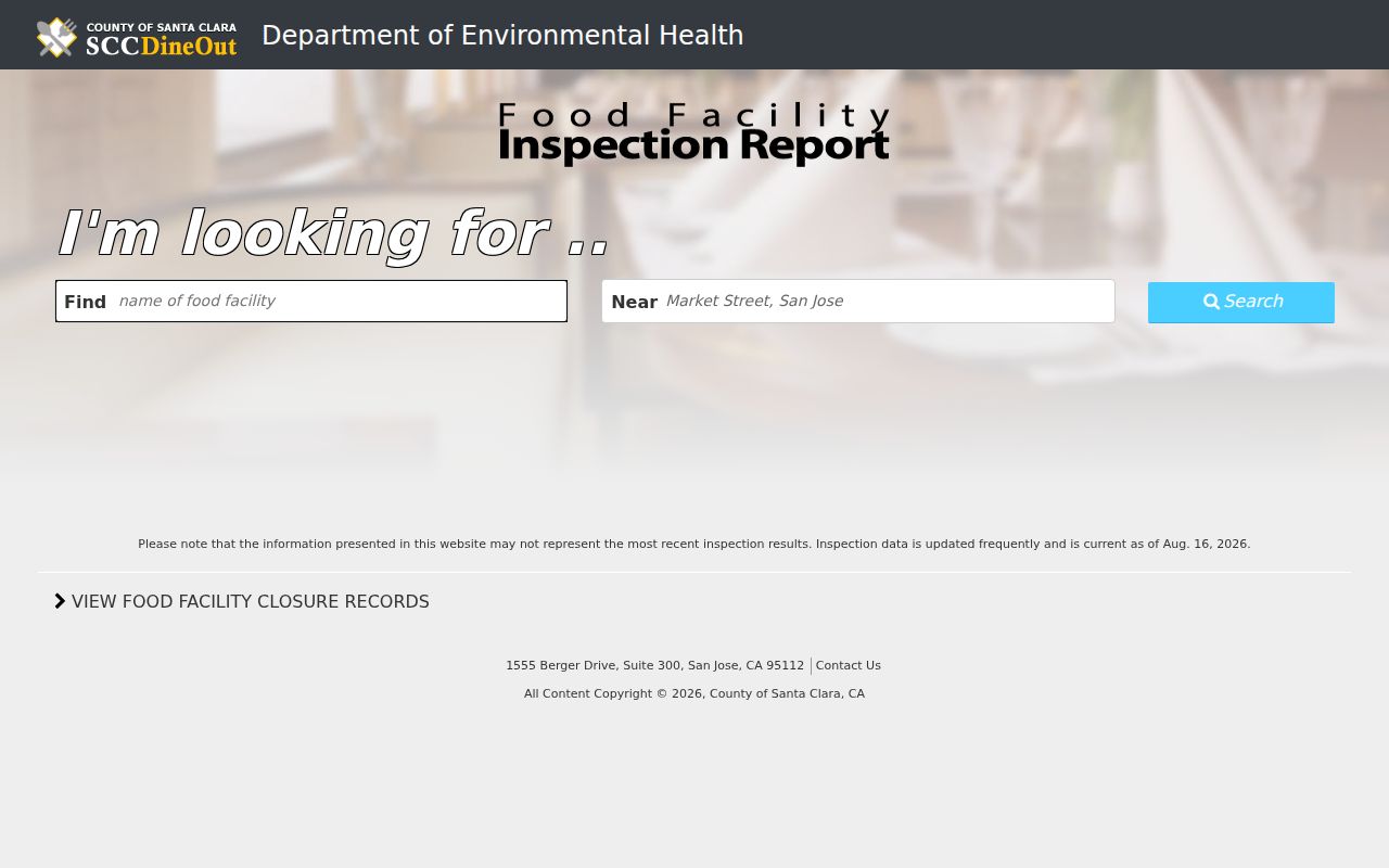
The image shows a useful local place record while also marking the limit of what a facility result can say about nearby people.
For a block question, use the facility result as a date or location clue, then return to GIS, Assessor, Recorder, or a public civic contact. Do not turn a business or inspection address into a claim about a resident.
Santa Clara County Neighbors Across Eras
Santa Clara County blocks have different record trails by era. Downtown San José and older districts such as Hensley, Naglee Park, Vendome, and Willow Glen can pair city directories with Sanborn maps and newspaper files. Postwar Campbell, Cupertino, Santa Clara, Sunnyvale, and west or north San José grew through subdivision maps, permits, directories, and parcel records.
South County places such as Morgan Hill, San Martin, and Gilroy retain agricultural, rancho, and unincorporated contexts. North County places such as Palo Alto, Mountain View, Los Altos, and Stanford add university and city-specific collections. Association polygons can overlap these local labels and do not necessarily match ZIP, council, parcel, or colloquial neighborhood boundaries.
Choose the era before choosing the tool. A current block map serves a parcel question. A reverse directory serves a historical address question. A Sanborn sheet serves a physical-structure question. A civic map serves a voluntary public-contact question.
Santa Clara County Neighbors: Privacy Limits
A neighbor lookup cannot recover every person at a parcel. Household members, utility subscribers, delivery records, and DMV residence data are not public substitutes for the Assessor or Recorder. A protected voter address may be omitted, and Safe at Home participants can use a substitute mailing address and confidential mail-forwarding.
California Government Code section 6208.1 limits public display of a Safe at Home participant's address or phone after the required demand. Government Code section 7924.000 keeps voter home addresses, phone, email, registration identifiers, signatures, and other fields confidential outside the controlled access process. The federal Driver's Privacy Protection Act separately limits DMV information.
Commercial neighbor tools combine public fragments with broker data and may attach stale former occupants or relatives. They cannot see a complete household, confidential voter, utility subscriber, or protected address. Check the official parcel or instrument instead, and use California's DROP platform for covered broker deletion requests rather than expecting it to alter a county record.
A letter that quotes a real parcel number or recording date is not automatically an official county notice. Compare any copy offer with the Clerk-Recorder's official records page and call a published office number, not the number in an unsolicited message. Preserve messages, envelopes, URLs, and payment instructions if a records-based solicitation becomes threatening or deceptive.
Lawful use. Santa Clara County neighbor records are for getting to know a block, reconnecting through a public contact, genealogy, and personal safety awareness. Do not use an address, map result, or organization clue to stalk, harass, threaten, or intimidate anyone.
When a source only suggests an association, owner, or historic listing, say so. The strongest neighbor lookup is bounded by the record's date, role, geography, and access rule.